images of the Prince Edward islands
Travel-Images.com
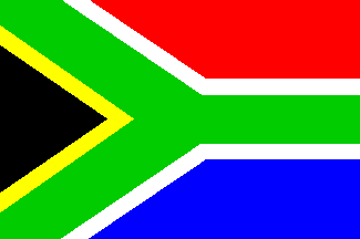
South Africa - flag images of the
Prince Edward islands
Republic of South Africa
Marion island, Prince Edward islands: satellite image - Southern Ocean - photo from NASA, John C. Stennis Space Center (in P.D.) Marion island: satellite image - photo from NASA, JC Stennis Space Center (in P.D.) Marion Island, Prince Edward islands: Moon rising above the sea - Gentoo Lake to right side - fuel tanks - photo by U.S. Department of Homeland Security, Environmental Measurements Laboratory (in P.D.) Marion Island: Moon rising above the sea - Gentoo Lake to right side - photo by Dept. of Homeland Security, EML (in P.D.)
Prince Edward Island: satellite image - crater visible in western part - Southern Ocean - photo from NASA, John C. Stennis Space Center (in P.D.) Prince Edward Island: satellite image - crater visible in western part - photo from NASA, JC Stennis Space Center (in P.D.) Marion Island, Prince Edward islands: view of Gentoo Lake and the Southern Ocean - coast - photo by U.S. Department of Homeland Security, Environmental Measurements Laboratory (in P.D.) Marion Island: view of Gentoo Lake and the Southern Ocean - photo by Dept. of Homeland Security, EML (in P.D.)
credits: images by NASA and US DHS-EML in P.D.  
image bank / agency   main
previous country (photos of Portugal / fotografias de Portugal)
next country (photos of Puerto Rico / imagenes de Puerto Rico)
Prince Edward islands - uninhabited archipelago near the Antartica administered by South Africa
see also: Argentina, South Africa, South Orkneys, South Georgia, Falklands, South Shetlands, Heard & McDonald, Norway, England, Australia, Antarctica, Antarctic region
click on the thumbnail to enlarge the image - photos of Prince Edward archipelago
images of the Prince Edward islands
by
www.travel-images.com